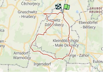

3.9 km | 5.3 km-effort

Tous les sentiers balisés d’Europe GUIDE+


FREE GPS app for hiking
 SityTrail
IGN / Geographical institutes
SityTrail World
The world is yours!
Trail On foot of 14.5 km to be discovered at Saxony, Bautzen, Obergurig - Hornja Hórka. This trail is proposed by SityTrail - itinéraires balisés pédestres.
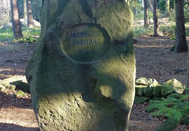
Symbol: Blaues R mit Wanderer und Böhmischer Brücke auf gelbem Grund